Plants Like Grumpy Volcanoes
Color comparing local increases in Carbon Dioxide

I spend a lot of time playing in NASA Worldview. Some satellites that watch our planet gather shockingly useful (sometimes daily) data from it. So, imagine my glee when I read about a discovery by NASA’s Ames Research Center and the Smithsonian Institution that volcanoes give off enough Carbon Dioxide (CO2) as they move toward eruption, that nearby trees grow more lush and healthy, enough to see on a satellite photo.
When an active volcano starts to misbehave, scientists from all over the world arrive with their gas analyzers, satellite feeds, and seismic sensors to help the locals know if and when they need to evacuate the area. False alarms can be costly to local industries and the reputations of local leaders, but surprise volcanic eruptions add multiple digits to the casualty count. Having precise ways to presage eruptions helps provide badly needed early warning.

Of course, taking pictures of an Icelandic volcano from orbit won’t show very many trees, but volcanoes in other parts of the world come with vegetation growing up their slopes.
Another key indicator is sulphur dioxide, which can be directly detected from orbit using spectroscopy. CO2 shows up earlier, but subtle increases in that gas can only be sniffed out directly by scientists getting up close and personal with the volcano, and can show magma near the Earth’s surface. Now, they can use foliage color, as seen from orbit.
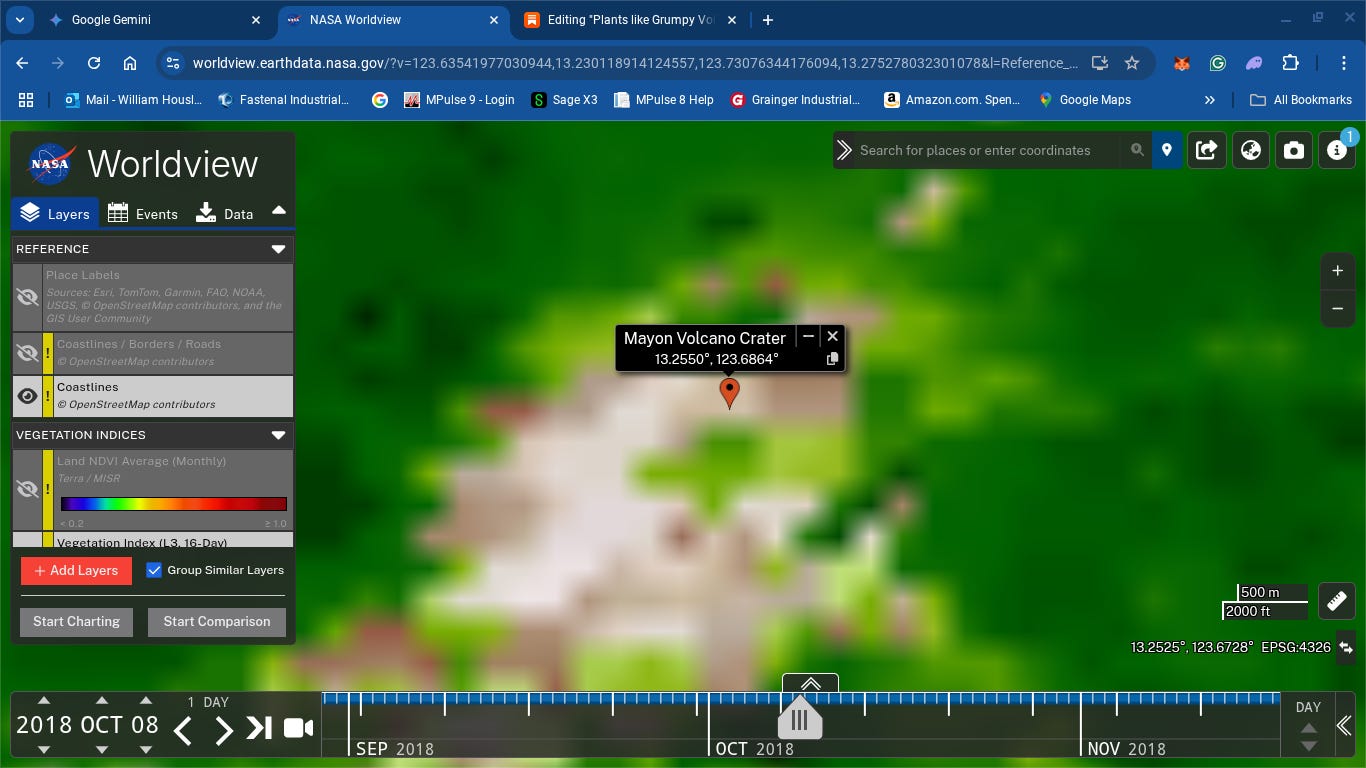
Check out the link below. I’ve added the layers for the Normalized Difference Vegetation Index (NDVI) sensors. Compare the various sensors, volcanoes, and dates, and see if you can find a comparison between baseline and pre-eruption changes.